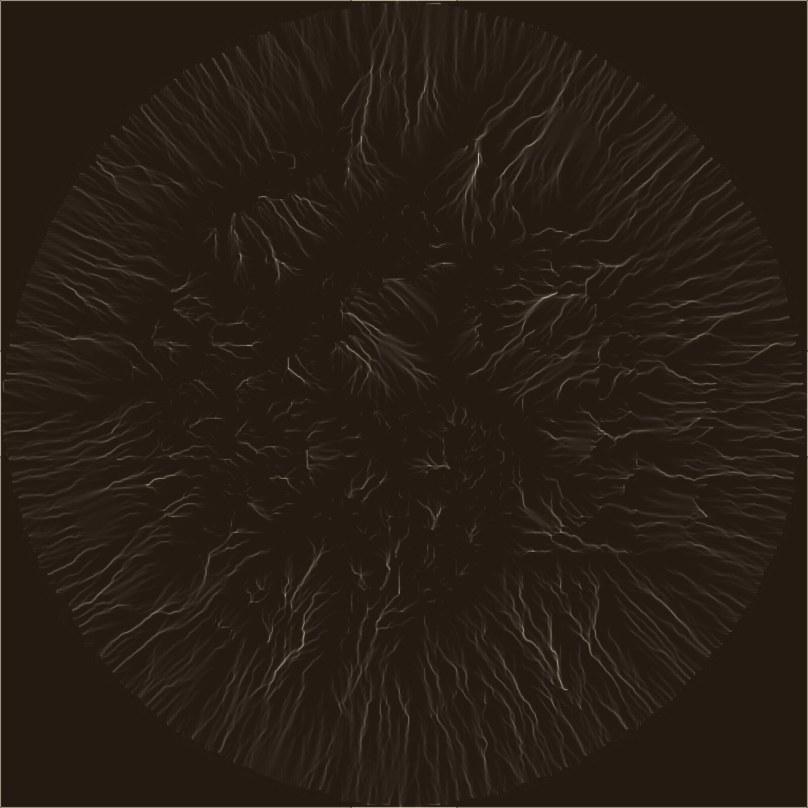
Blender 5.0 extension simulating erosion on heightmaps, with two models: individual particles and grid-based runoff.
Blender has no native, physically plausible erosion tool: procedural terrains (noise + displace) stay smooth and lack a coherent drainage network, unlike real relief shaped by water.
Two complementary models. Particle (Beyer): each droplet follows the slope gradient with inertia, erodes according to its free transport capacity and deposits as it slows down, sediment bilinearly interpolated on the grid — good for fine, localized ravines. Grid (WaterSed, after BRGM/Landemaine et al.): simulates a full rain event over the whole terrain — priority-flood (Wang & Liu 2006) to fill depressions, Multiple Flow Direction routing (Freeman 1991) for natural flow instead of single-direction D8, Manning's formula for velocity, diffuse (splash) and concentrated (channel) erosion, transport and deposition based on carrying capacity.
8 exposed parameters for Particle, 13 for WaterSed, 3 configurable output maps (erosion, deposition, runoff on a logarithmic scale) stored directly in bpy.data.images. Fully ported to the new Blender 5.0 API.